In the not too distant past, construction surveying looked a lot different than it does now. Back then, a survey crew required a minimum of 2 people, angles were measured using a transit, a steel tape was pulled to measure distance and a level run was completed to establish elevations.
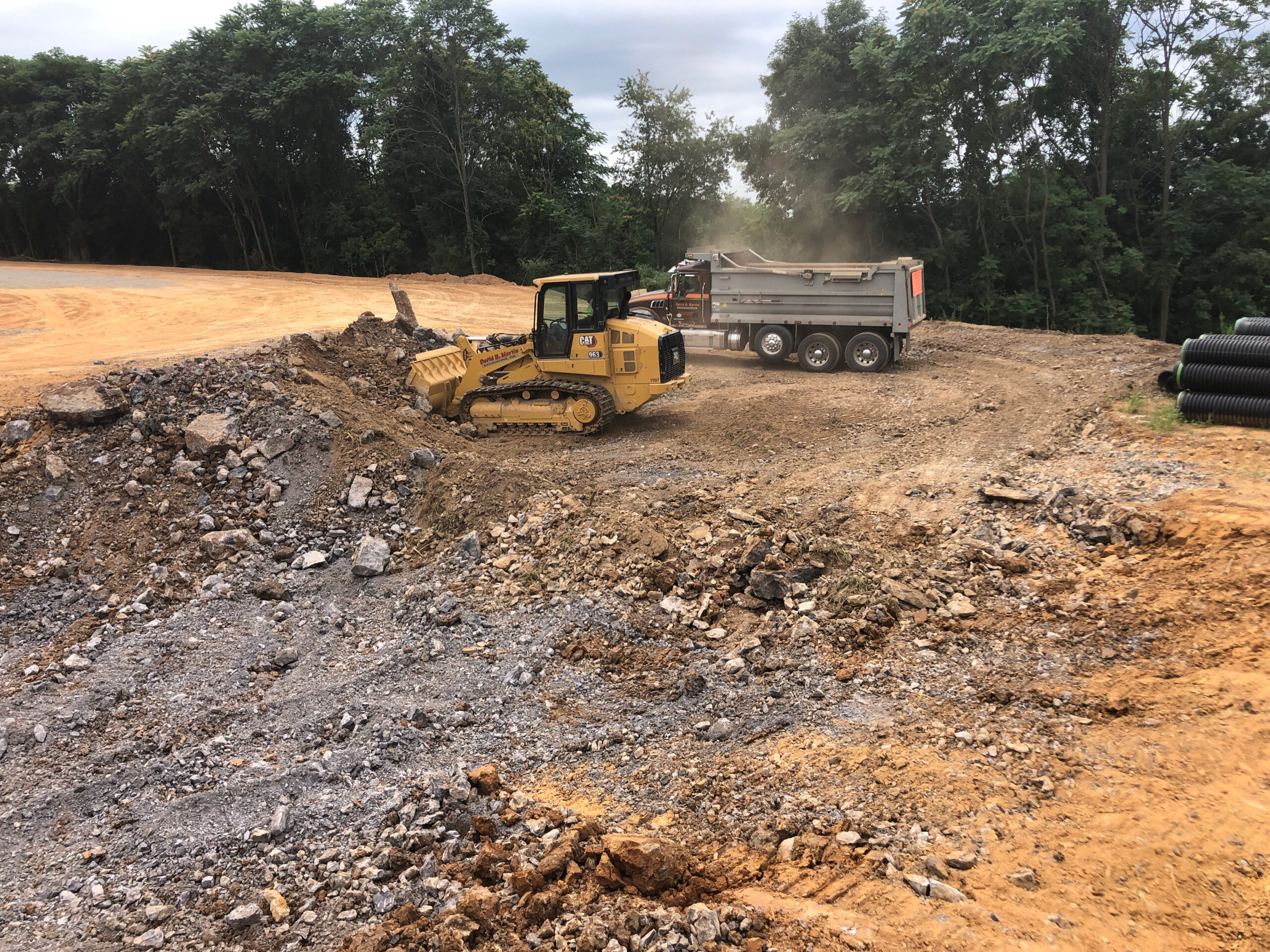
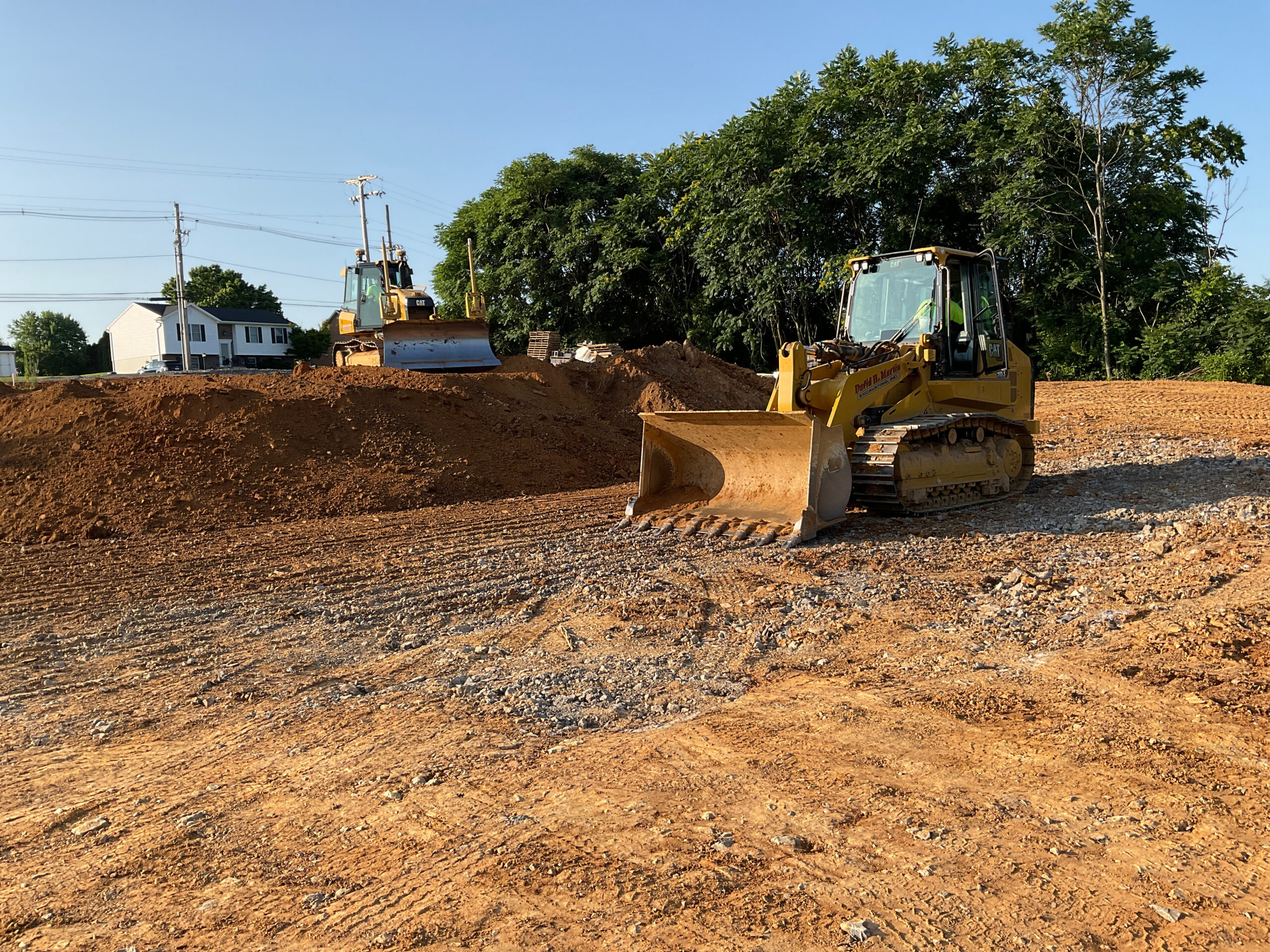
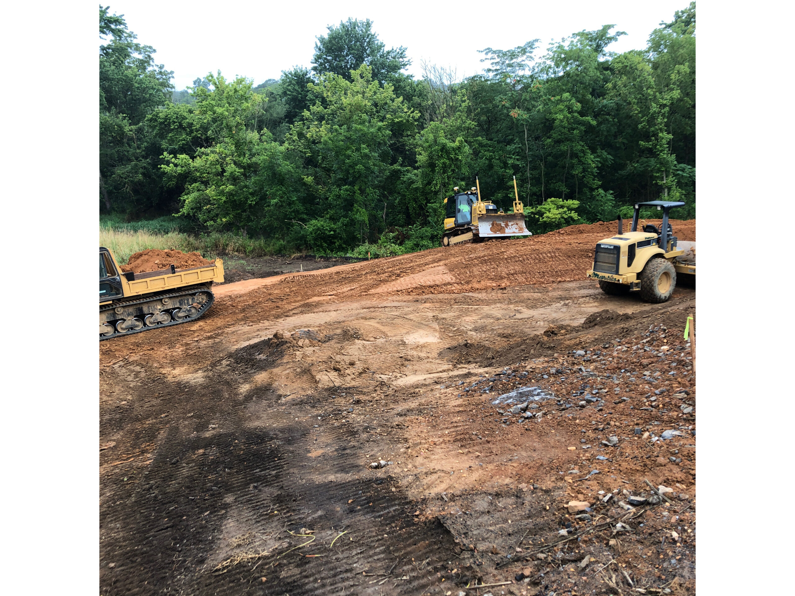
While the construction surveyor is doing the same basic task today, technology has changed the way we complete these tasks. Today DHM uses 1 man survey crews using GPS, drones and machine control models to complete the work more efficiently and accurately.
The surveyor no longer needs to set stakes in a 50’ grid to grade an area. Instead, he loads a computer-generated finish grade model into the GPS machine and that the machine operator then can perform his grading task completely without the need for stakes.
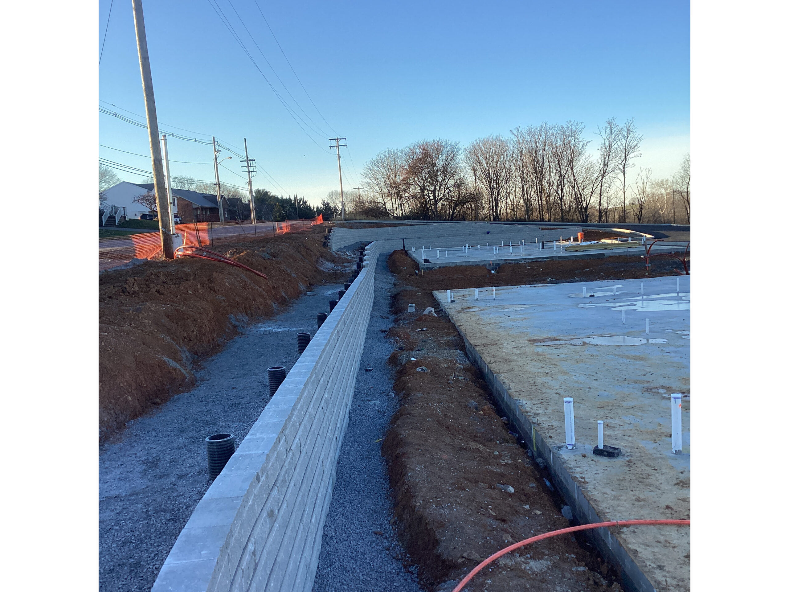
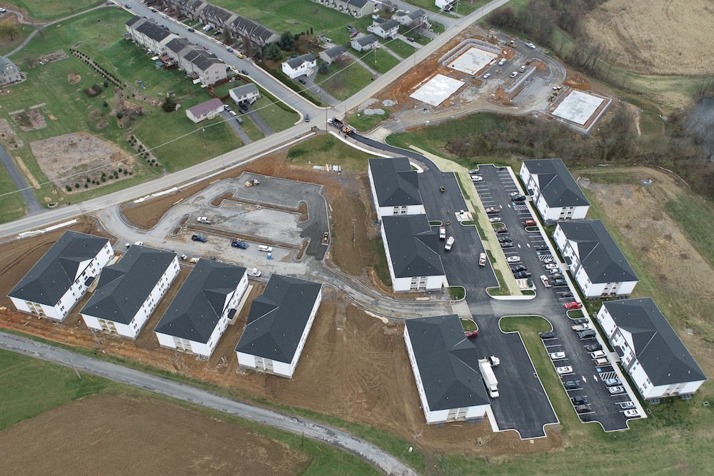
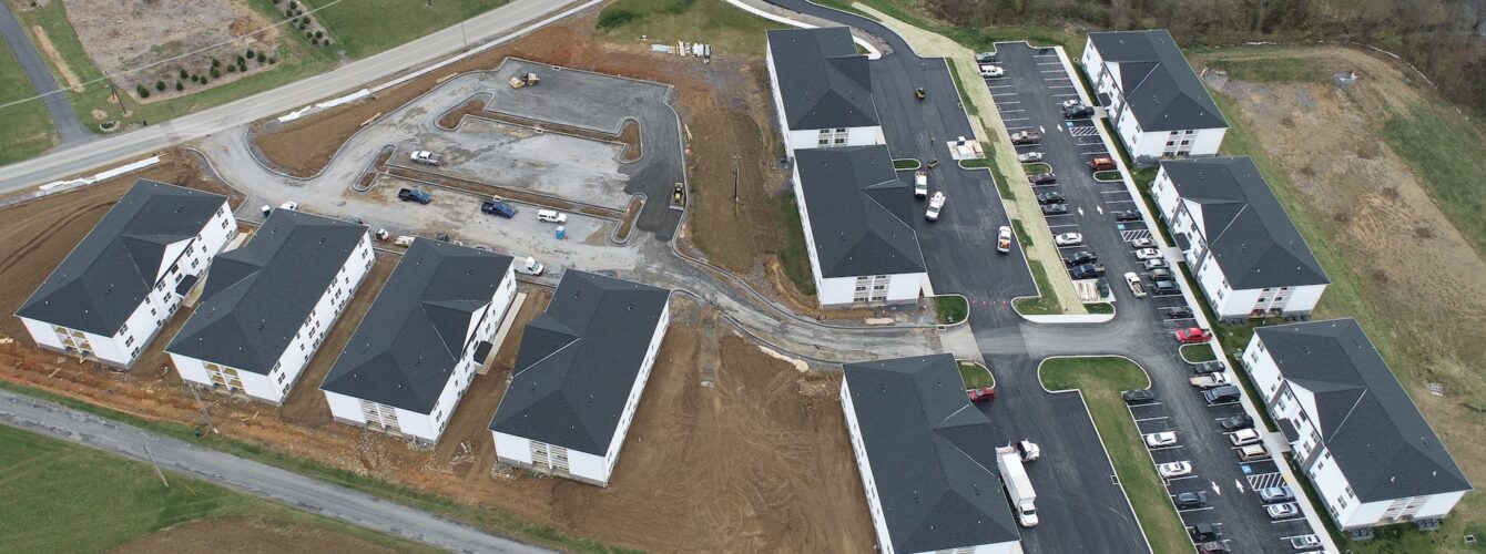
Drones allow DHM surveyors to calculate earthwork quantities and stockpile volumes and obtain topography of the site more efficiently, accurately and safely. The surveyor must still perform various stakeout tasks. These tasks include staking water and sewer lines, stormwater items, and curbs.
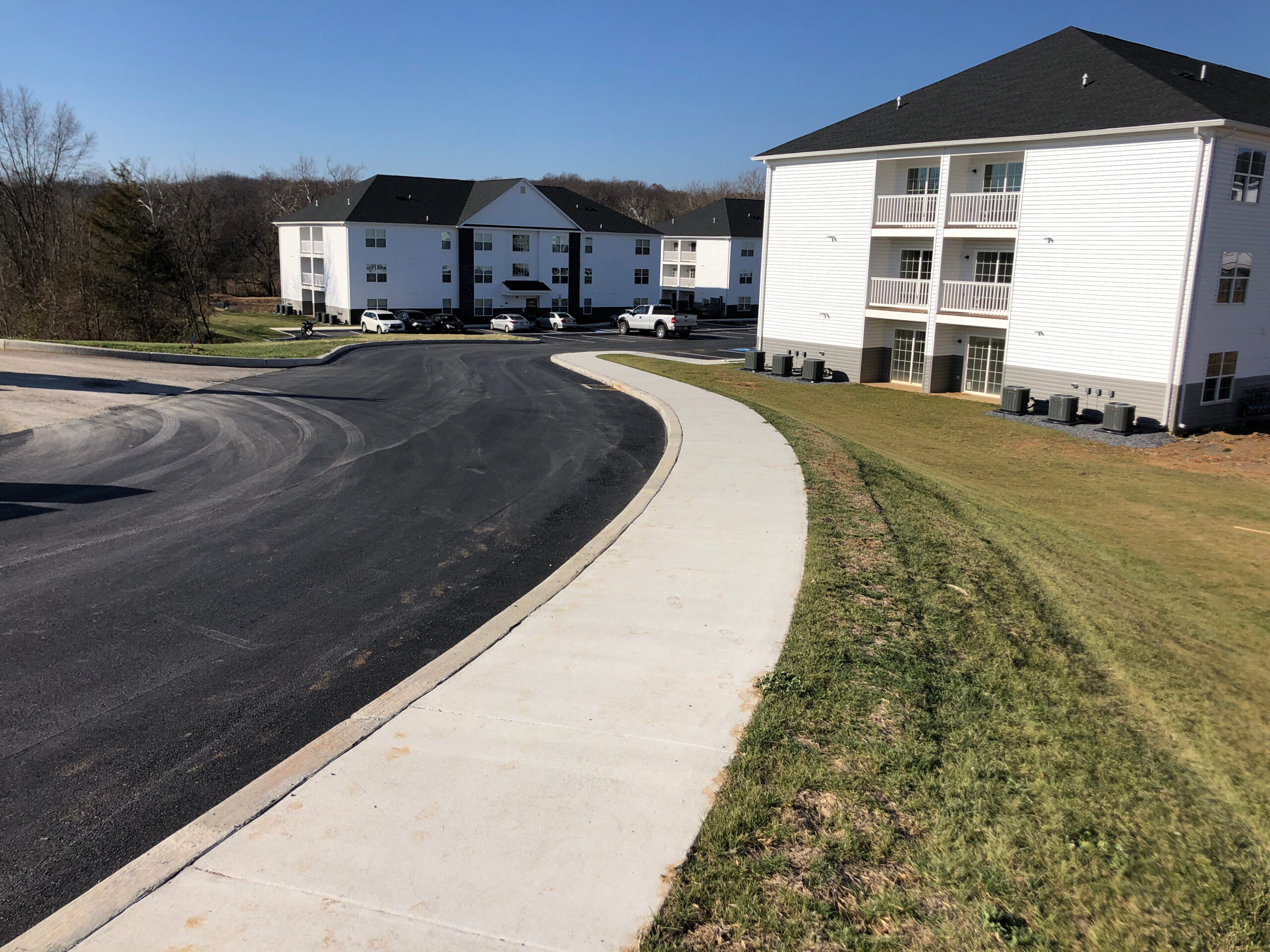
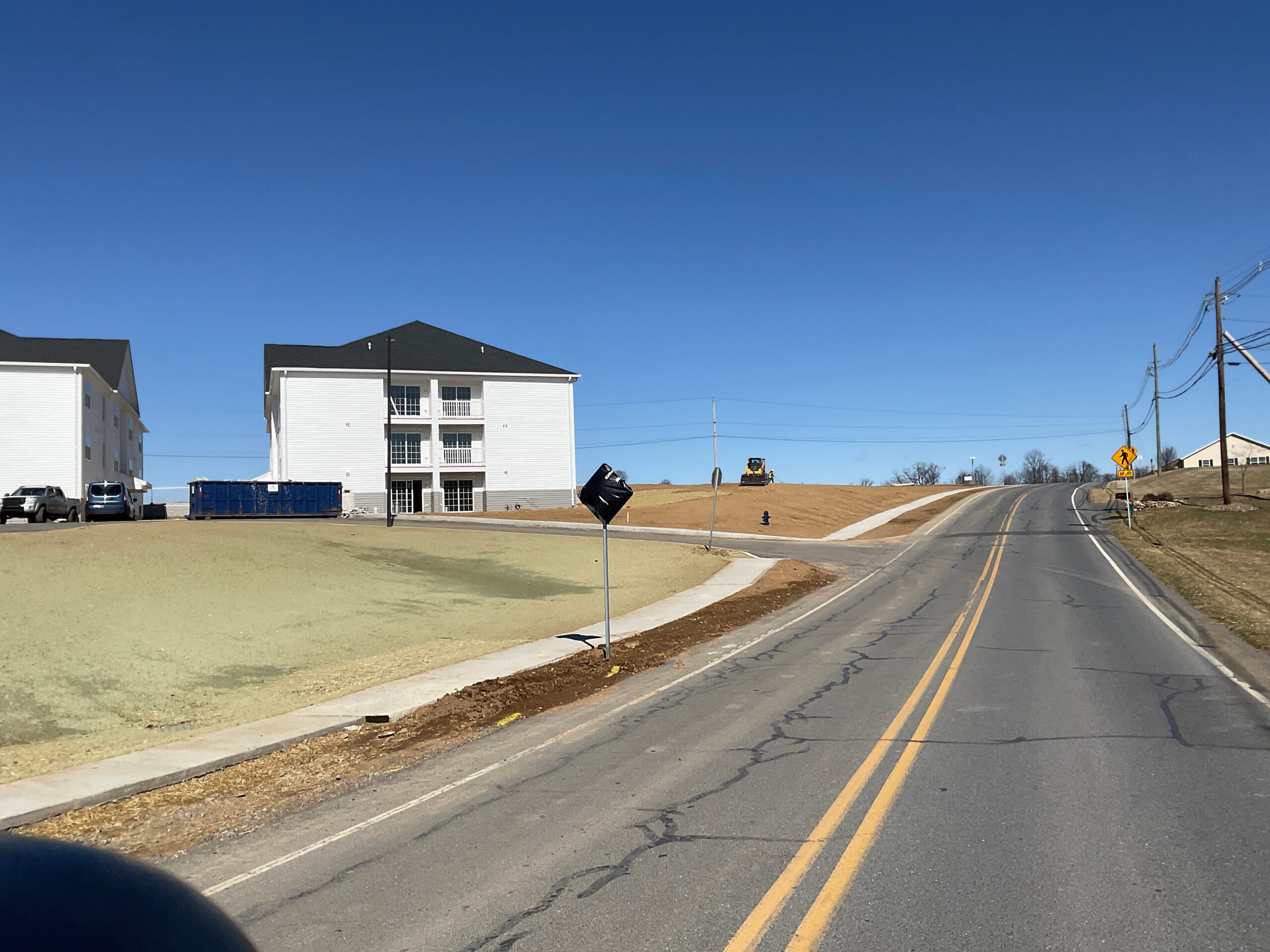
The Creekside Apartments, a residential development on the south side of Chambersburg, PA has utilized all the various tools in the surveyor’s toolbox. The existing topography was verified and stockpile volumes were calculated using the drone. The overall grading of the site was completed using GPS machine control equipment. When the project is complete, the site surveyor will have staked erosion and sediment control items, 1,600’ of sewer, 2,100’ of waterline, 3,200’ of storm sewer and 6,600’ of curbs using GPS.
So although the tools of construction surveying may be different, the job of the surveyor is the same; to lay the approved design of the project out on the ground, so that equipment operators can build that project efficiently, accurately and within budget and time restraints.